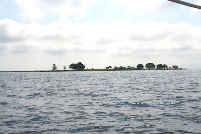
We head out of Jekyll Creek towards
St Simons Sound.
St Simons Sound.


There's someone already at work this morning.

 As we leave the Creek there's our usual review board of birds set to watch us make the turn.
We're hoping they will give us a '10' as we manuver around the point


 The weather is warm today and there are also people along the banks.
 We begin to make our turn off the ICW and up the Frederica River.
The banks are sparkling and green.
 and just around the bend is Ft. Frederica National Park.
Although it is listed as Ft Frederica there was a settlement at this location.

 The dock warns us that it is dry
2 hrs before and 2 hrs after low tide.
That means there are 4 hours that the dock is dry and
time before and beyond that the water isn't high enough to float your boat!
There's got to be some planning involved in going ashore here.
 Anchoring also proved to be a challenge.
The combination of the wind and current had Hakuna Matata just lazily sitting broadside in the river not reacting to either and not helping set the anchor. Bob had to convince her to do otherwise with our faithful dinghy and soon had us swinging securely on two anchors. Many of the creeks are beautiful to visit but can have swift currents and a wide range in tide.
 We were comfortable leaving her to go ashore
confident that she'd be waiting in this spot when we returned.

 What you are looking at on the upper left bank is the structure that most recognize as being the fort. However it is the remains of the fort's powder magazine. The fort was actually much larger.
When you enter the park from Frederica River you walk through a wooded section before coming upon the ruins.


We made our way to the main entrance of the town where we paid the fee and wandered about in the store/museum. Our first visit was short as the tide was dropping and we had to return quickly before our dink was high & dry.
 Since the timing of today's tide made it difficult to thoroughly see the town we remained at anchor another day and returned to Frederica and her fascinating history.
 The museum had a great variety of displays
including a basket of period clothing to try on. (Not my size!- I tried)

 We watched a short fascinating movie on the history of Frederica and took this with us as we toured the town reading the markers and marveling at what had once been.
 If you notice the pictures are a little dark. Just as we got ashore it began to sprinkle so Bob returned to the boat for our rain gear. Of course once he returned with it the rain stopped. That was ok by us but it did make just a little dreary.
 This marker showed the layout of Frederica. The fort is in the top section along the river.
According to the information given us: James Oglethorpe was responsible for the development of this settlement. In 1736 he brough 44 men, 72 women & children and laid out a military town on the bluff overlooking a sharp bend on the inland passage up the coast of Georgia. Oglethorpe staked out 84 lots, most of them measuring 60 x 80 feet. Each family received a lot for building and 50 acres in the country for crops.
 Initially many of the early settlers built this type of palmetto hut to live in as they constructed their homes.
 In 1739 war broke out between Britain and Spain ranging from the Caribbean to the Georgia coast and Frederica. Expecting a Spanish attach, Oglethorpe enclosed the town within an earthen wall and a palisaded moat, 10' wide fed by the river.
In the 1740's Frederica might have passed for a village in the English midlands. The population reached about 500, and the town took on an air of permanency. Tradespeople and skilled workers prospered. Farmers grew crops in the surrounding fields, doing the work themselves, for slavery was banned in the colony.
We learned that the early excavation of the Hawking-Davison Houses assisted greatly in determining the layout of the town. From this site they were able to locate other dwellings and reconstruct the town.


 At each site we stopped to read the history of the area or building
and viewed some artifacts that had been uncovered during the excavation of the town.
Some lived in palmetto-thatched huts.
Oglethorpe sailed from Frederica to England for the last time in 1743. The regiment was disbanded in 1749 and without the money brought by the several hundred soldiers the town could hardly prosper. Born of war, Frederica expired with the coming of peace and fell into ruin.
 Lost to time and a wandering river, Frederica today barely resembles the extensive military town that once flourished here. With the guide in hand we browsed through the town site and left feeling as though we had visited the settlement of the military town of Frederica.
 Red winged black birds were sitting on the tall grass as we sailed by
as the marsh seems to go on forever.
 There was a lot of display going on especially with the larger herons.
We re-enter the ICW at the MacKay River.


No comments:
Post a Comment